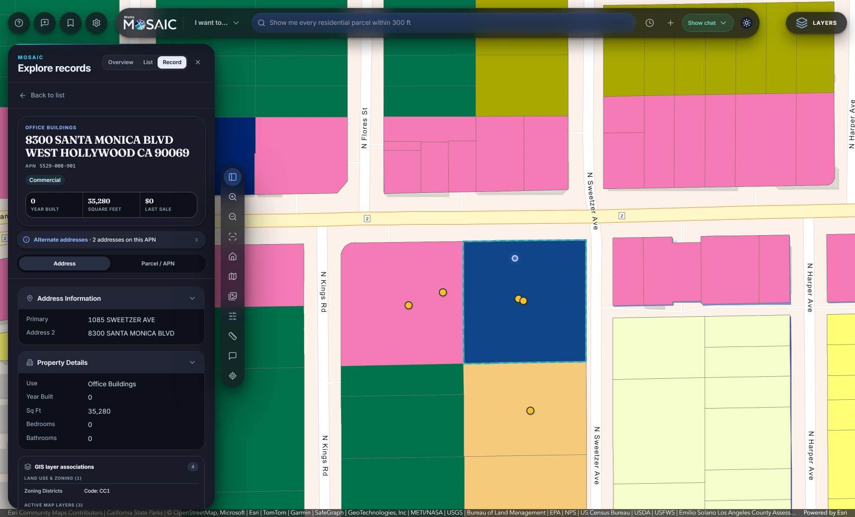
ArcGIS supplies the location and context.
Connect published layers and geocoding services from ArcGIS Enterprise or Portal. Parcels, zoning, hazards and transit layers give records a location and give searches spatial context. Your GIS team continues maintaining the services in ArcGIS.
Staff can search by address or parcel number, choose department-specific layer presets and investigate relationships between layers. The saved search keeps the sources and method with the results, including the distance and coordinate settings used in spatial queries.
Tyler EnerGov supplies the permitting history.
MOSAIC connects Tyler EnerGov EP&L permits, plans, licenses, inspections and related files with the map. Records become searchable alongside the parcels and layers they relate to, helping staff move from a site question to the associated case history.
For example, a planning question can start with zoning conditions, identify matching parcels and lead to the permits on those parcels. Staff can inspect the results, open a record and export the available information under their access rules.
Laserfiche supplies the supporting documents.
Documents can be searched and retrieved on demand for a case or a records request. MOSAIC connects the files to the work staff are doing instead of requiring a bulk copy of the archive.
A parcel investigation can lead to its associated records and supporting files. A public records collection can gather connected material into a package with a manifest, file statuses and gaps for staff to review. Source coverage and document access are confirmed for each customer.
IT keeps control of access and setup.
MOSAIC supports Microsoft Entra ID sign-in and roles mapped from directory groups. The server applies access rules, removes sensitive fields according to role and governs exports. Municipality Studio provides a browser-based place to configure connections and available layers.
Run MOSAIC on your servers, in your cloud or hosted. The AI model interprets the question using catalog descriptions; returned records and documents remain in your systems. We agree on which sources to connect, who can access them and where MOSAIC will run.